Save 10% on a Private Tour with Corks & Cactus
Small Tour Groups Save 10 % Book a private Osoyoos / Oliver tour with 4 or less and save 10%....
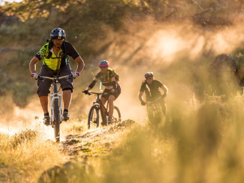
When you visit Osoyoos, immerse yourself in our valley of stunning beauty with unlimited vistas awaiting you around every corner and atop every climb. But there’s more to us than rugged desert trails under bright skies.
With a unique, desert climate, adventure can be found all season in Osoyoos. Trails surround our friendly and intimate resort town, which is rich in Indigenous culture and a wide range of culinary and artistic experiences – not to mention sophisticated resorts, championship golf courses, and the nation’s warmest lake. Situated in Canada’s best wine region, Osoyoos is also an up-and-coming destination for craft beer, cider, and spirits alike to be enjoyed after a day of cycling. Discover why Osoyoos is Canada’s Warmest Welcome.
Trails in Osoyoos can be accessed from one main trail area at Kruger Mountain, Blue Lake/Kilpoola. Some of the top trails in the area are:
Read more about some of the best mountain biking trails in the Osoyoos area on trailforks.com
You can also read about some pro tips for riding in the South Okanagan here.
**Note: Although relatively small, this trail system is specifically designed with numerous multi-trail intersections and short connector trails to provide a large variety of options to every level of rider. By doing a little mix and match you can make several runs and not do the exact same route twice. This is a mixed area consisting of Park Land, Conservation Area, Protected Area, Range Land and Private Property. As such the trails are not marked with official signage. There is a “gentleman’s agreement” for the very small limited private areas, please always tread lightly and leave no trace to keep these open. There are some painted rocks/cairns at some intersections on some trails.
Small Tour Groups Save 10 % Book a private Osoyoos / Oliver tour with 4 or less and save 10%....
Combining forces of passion, creativity, gratitude, joy, knowledge, experience, and self love is what makes Levia Wellness spa special. This...
Book a July wine tour with Corks & Cactus Tours and save 10%! Applies to any Osoyoos or Oliver wine...